The Green River
From Hall’s Gap to Henderson
AN UNMARKED WET WEATHER spring that trickles from a wooded bluff on the face of Hall’s Gap in Lincoln County gives birth to the Green River.
Three-hundred eighty-four miles and 15 Kentucky counties later, it spills into the Ohio River in Henderson County.
Collecting historical notes and photographs about the river took some time, but Richard and Pam Hines of Metcalfe County—consumer-members of Farmers RECC—have finished their book, Kentucky’s Green River, another in the Images of America series from Arcadia Press.
Richard, a retired biologist with the U.S. Fish and Wildlife Service and former biologist with the Kentucky Department of Fish and Wildlife Resources, remembers swimming in the Green River as a boy near his grandparents’ farm on the river in Butler County. He hitched his first ride on a Green River towboat at about age 10.
Green River, he’d often heard, was the deepest river in the world, or perhaps the deepest small river, among other variations. But his research found that while there are “one or two deep holes” in the Green, there is no basis for the deepest river claim.
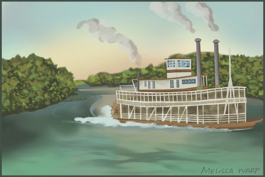
Paddle-wheel steamboats, towboats and log rafting are popular images among the book’s well over 200 photographs of life on the historic waterway—most dating to the late 19th and early 20th centuries. Loggers in McLean County are pictured in 1910 moving logs to the river with oxen, and a barge is loaded with houses and other buildings being relocated from Muhlenberg County’s Paradise coal camp in 1967. Works Progress Administration workers are shown excavating Native American mounds with archaeologists along the river in Ohio County, and soldiers are shown being trained to build pontoon bridges across the river near Mammoth Cave before service in World War II.
Pam was surprised at the number of pictures that exist from the steamboat era, including those of many steamers that made regular runs with passengers, materials and merchandise of all descriptions: chairs manufactured at two major factories near the river, and Kentucky rock asphalt from Kyrock in Edmondson County, which once was used to pave the Indianapolis Motor Speedway track. A floating photographic studio and the showboat Majestic share pages with photos of baptisms, mussel fishermen and ice skaters. There is a photo of a light plane that landed on the frozen river during the winter of 1940 in McLean County.
The Kentucky Museum at Western Kentucky University, the Green River Museum at Woodbury in Butler County and the historical societies in Hart County and McLean County provided major assistance with photo research.
Contrary to some local lore that the Green River takes its name from its deep emerald color, Richard Hines says the best historical information indicates that the Green—despite a missing E—was named for Revolutionary War Gen. Nathanael Greene. Another Revolutionary War soldier, Capt. Abraham Lincoln, grandfather of the president, held an 800-acre land warrant on the Green River in what now is Casey County.